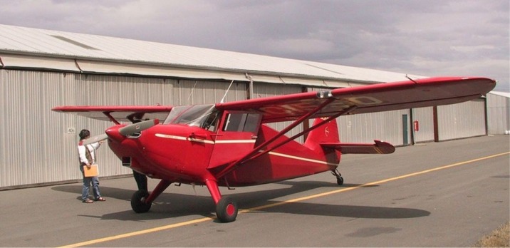
| The agent's airplane that we flew to take the aerial pictures. | Airplane |
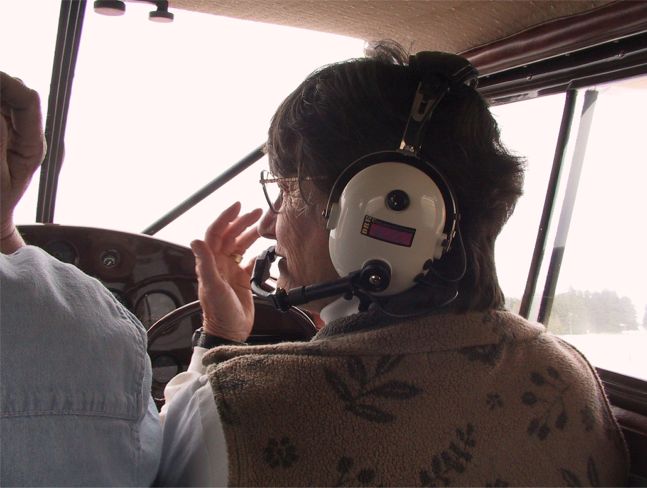
| Once upon a time, Ruth had a single-engine-land pilot's license. So, while John took these pictures, Ruth pretended she was copilot. | Copilot? |
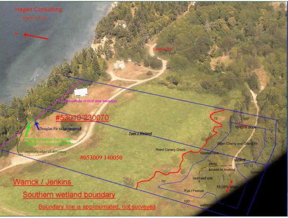
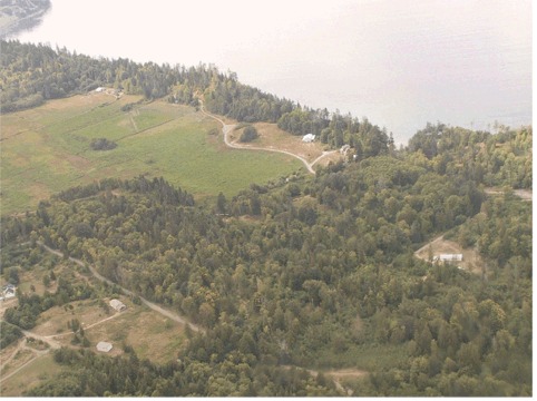
| We overlaid our approximate property boundaries on one pictures of the that John took, then used it to delineate the edges of the wetland, which we had to do in order to obtain our permits. | Property Boundaries |
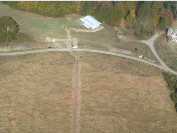
| Here's another shot of the property, without all of the extra information. | The Land |
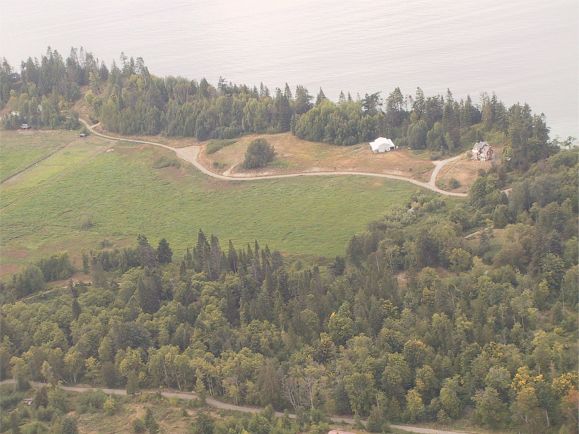
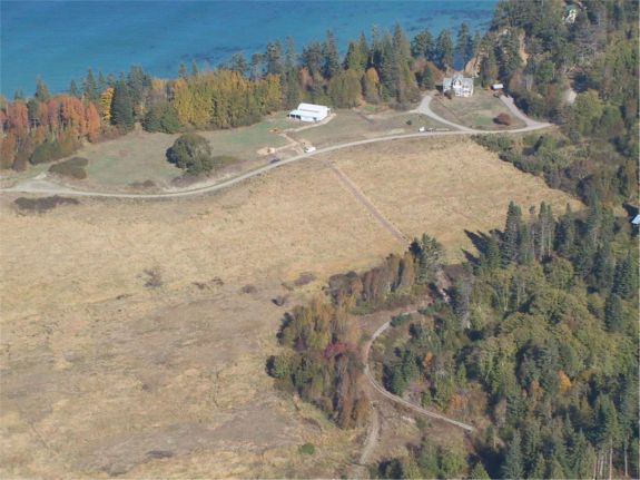
| This is another view of the property, taken from somewhat farther away, so you can see more of the surrounding area. | The Land |
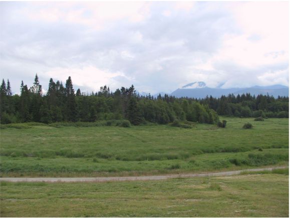
| When this picture was taken, the shot was taken from just outside the barn, looking south. It was vistas like this that first attracted us to the site. | The Land |
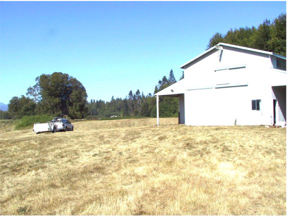
| One of our first trips to our new property involved hiring a man with a "brush hog" (a large mower deck that cuts down brush as well as tall grass) to mow the field beside our barn. Thus, you see our trusty Ford driving over a mowed field around the barn. | The Land |
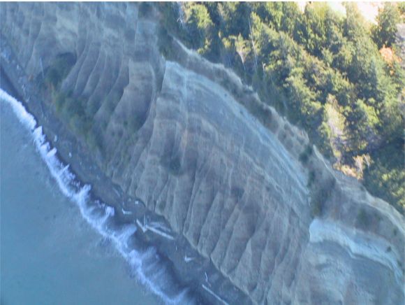
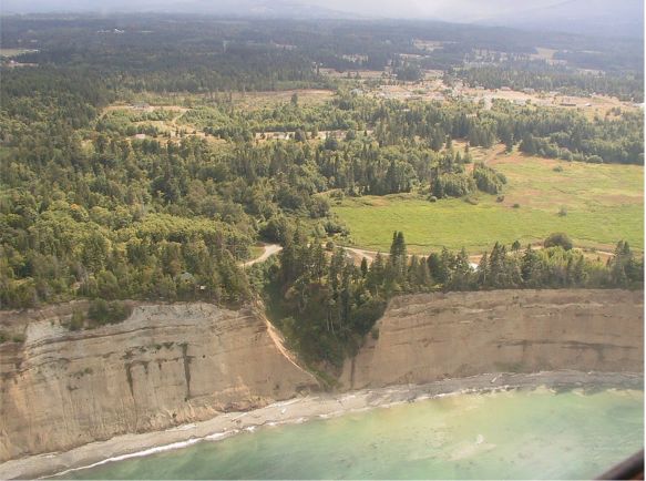
| The northern edge of our property is a precipitous cliff that drops about 150 feet to the intertial zone. These cliffs comprise glacial deposit of rocks, sand and clay. They are subject to wind and water erosion; as a result, codes prohibit building within about 130 feet of the edge of the bluff. So, although the view of the ocean is quite lovely, it isn't practical to build one's house to take advantage of that view. | Cliffs |
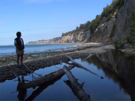
| This is a shot of the cliff to the east of our property, taken from the intertidal. You can see several small slides near the base of the cliff. | Cliffs |
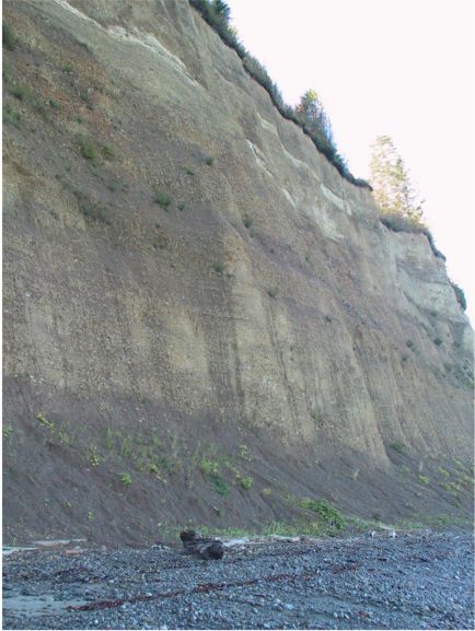
| This is the cliff just below our property. At the time of this picture there were no recent slides (that's good news). However, you can see that the cliff is very nearly vertical in this section. | Cliffs |
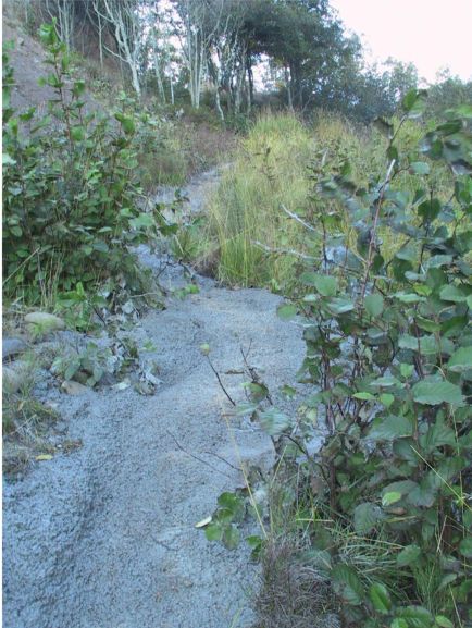
| We are part of a group of about five neighbors who share easement rights to a little path that leads to/from the beach. The path begins about 300 feet east of our property, and leads down a gully that you see in this picture to the intertidal zone. | Beach Access Gully |
| Here are a couple more shots of the path that goes up/down the gully. | Path Path |
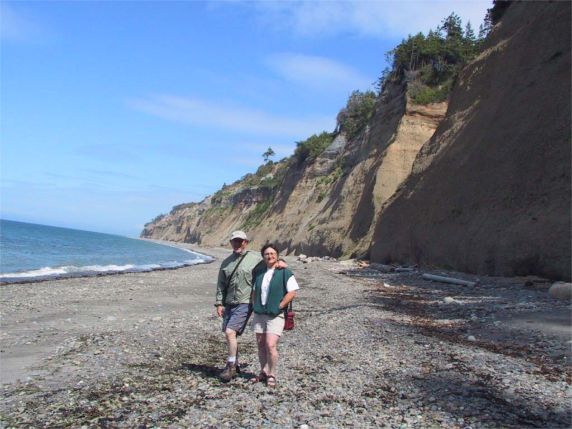
| John and Ruth standing on the beach near the bottom of the path. | Late Summer 2003 |
| This is the mouth of a little creek that empties into the sound west of our property. | Bagley Creek |
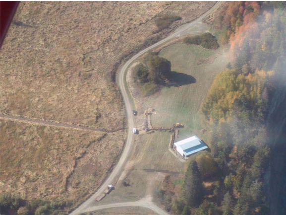
| Having obtained the necessary permits, we had a well drilled on the south side of the wetland. We had a single trench dug across the wetland in which we laid a power line to the well, and a water line from the well. In the pictures to the right, the white van is parked just about where the transformer will be installed. The trench that will bring water and power to the barn has a dog-leg in it because it has to go around the site of the septic leach field. The spur heading off to the south is the trench to the underground water storage tank. | Trench from well to barn. Closeup of trench to barn. Another view of trench to barn. |
| Looking toward the barn, you can see the open trench in the foreground. | Trench from well to barn. |
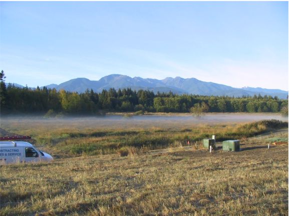
| Now the trench is filled in, the transformer installed. | Fall morning. |
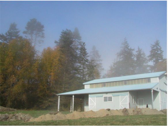
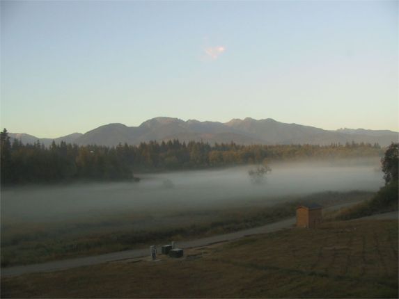
| Here's another early morning picture. Ground fog is a common occurrence here. You can also see the little pump house sitting atop the water storage tank. | Early fall morning. |
| After water and power was installed, we had a septic system and a driveway put in. | The driveway to the barn. |
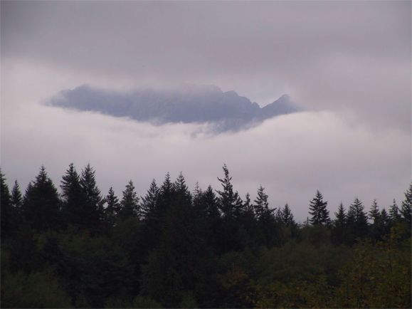
| And, finally, here's what it looks like when late fall brings the weather that is Washington's trademark. | The View. |