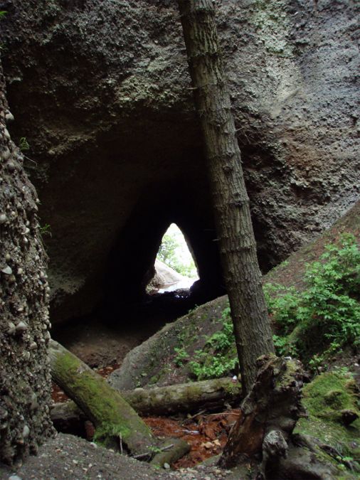
| The field just south of our house, and the viewshed from our front window, was once upon a time a shallow, 60-acre lake. Pioneers to the area needed farmland. Thinking it easier to drain the lake and farm the lake bed than to clear the dense forest to expose arable land, sometime in the 1860's, an enterprising farmer did just that. He constructed a tunnel from the bottom of the lake to the beach, a few hundred feet away. The tunnel survives to this day, and is a registered Washington Historical Site, an example of pioneering ingenuity.
|
|
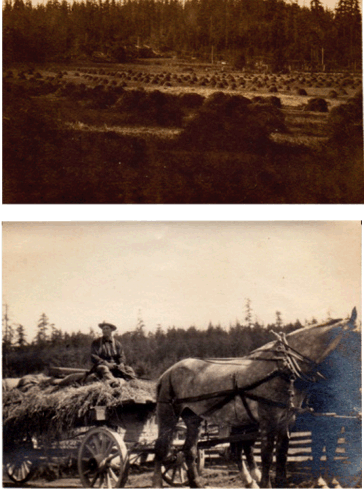
| As usual, there is always a "rest of the story". It turned out that the bottom of the lake was muck, unsuitable for crops. However, the next generation of farmers burned the vegetation that did grow in the lake bottom; the resulting ash provided enough fertilizer that they and successive farmers were able to harvest hay from the field. Here are some historic photos. |
 |
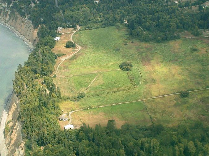
| Time passes. The farmer sold to a developer. The developer further drained the marshy soil, and subdivided the land. County planners, however, had identified the farmed fields, not as old lake bed but as wetlands. The restrictions placed on development were meant to encourage restoration of Washington's disappearing wetlands. Tree-hugging, wetland-loving transplants like John and me entered the picture, built our home and settled in. This is what the field looked like in 2001, before our home was built.
|
 |
| As we discovered the history of this big field and studied it in the light of County Planner's intentions, we realized that when farming ended but no further management occurred, a single invasive species, reed canary grass, took over. So, we have now set ourselves the task of restoring this big field, if not to it's former condition of a single lake, at least to a wetland ecology, with a more diverse flora. We'd also like to recreate some ponds, suitable for attracting migrating wildfowl. Maybe like this restored wetland that we visited in Skagit Coundy east of us.
|

|
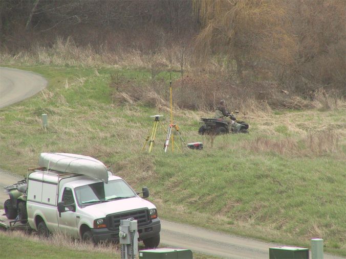
| We have begun working with various governmental agencies, hoping for grant funding. An elevational survey funded by Ducks Unlimited provided one-foot contour map of the area.
|
|
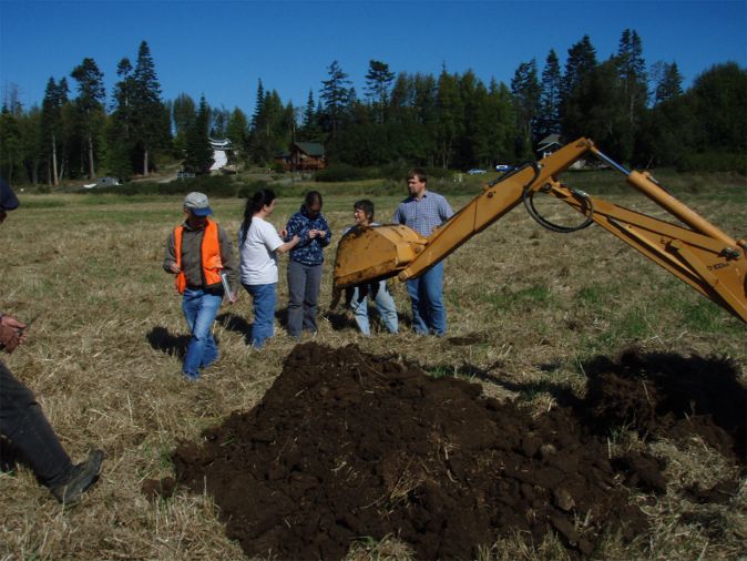
| Natural Resource Conservation Service (NRCS), an arm of the USDA, dug test pits so that we can measure groundwater depths. |
|
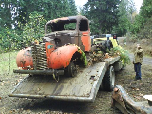
| We purchased more of the field, and began the task of clearing away "stuff" accumulated on the property over the years. |
 |
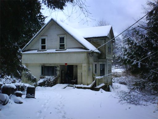
| Included in this most recent purchase was an historic house. Although it looks charming, covered as it is with snow, it is not habitable at the moment, but we have stabilized it for the winter. Next spring we'll evaluate what to do with the structure. We will also continue our search for funding agencies to help us with this significant project. |
 |